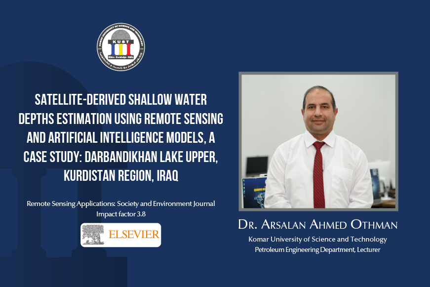
Dr. Arsalan Ahmed, a faculty member in the Petroleum Engineering Department, recently published a paper titled ‘Satellite-derived shallow water depths estimation using remote sensing….’ His research introduces a reliable method for estimating water depth using Darbandikhan Lake Upper (DLU) as a test site. His method combines Quantile Regression Forests (QRF), Random Forest (RF), Support Vector Machine (SVM), and Artificial Neural Networks (ANN) with Sentinel-2 reflectance and ICESat-2 LiDAR data to assess depth during the 2019 spring flood. The approach enhances bathymetric mapping for water resource management. Dr. Arsalan presented his findings at KUST’s E-Auditorium Hall on Feb 24, 2025. For more detail check doi.org/10.1016/j.rsase.2024.101432.